


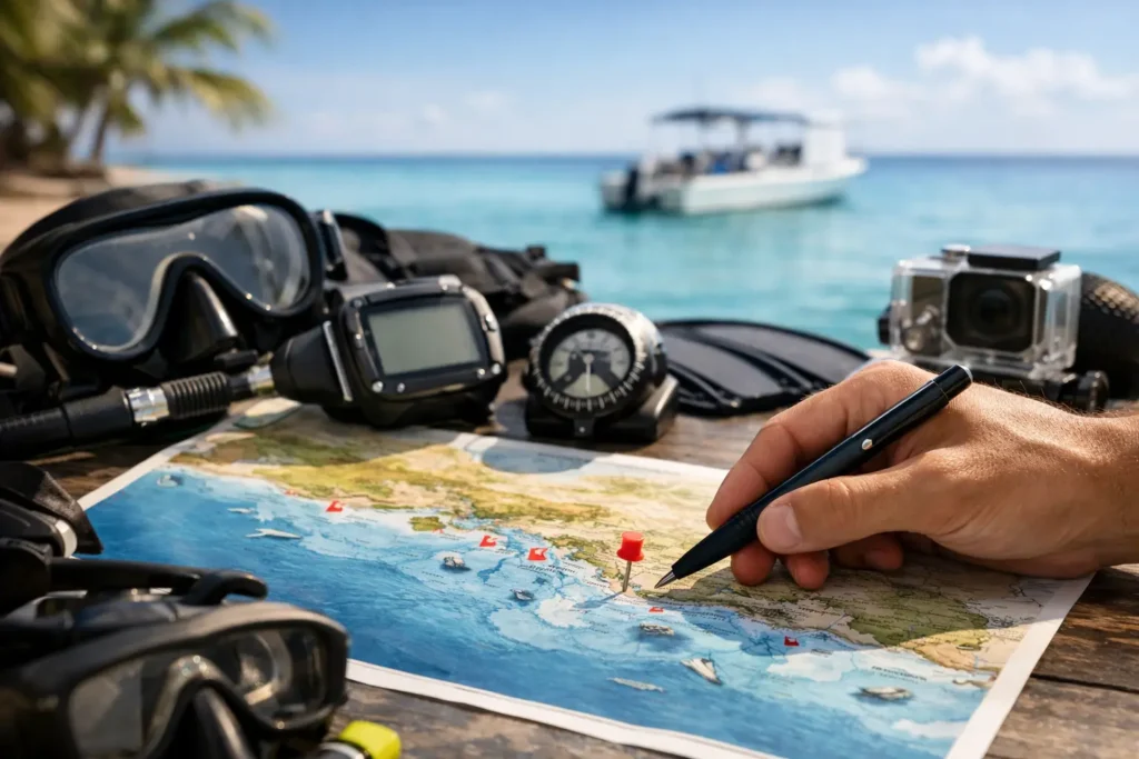
You can tell a lot about a dive destination by what its map looks like. A good Bayahibe dive sites map does not just show dots in the water. It tells you how the region really works – where beginners feel comfortable, where wreck lovers want to spend the whole morning, where current can change the mood of a dive, and why two sites that look close on paper can feel completely different underwater.
That matters here because Bayahibe offers unusual range in a relatively compact area. You have shallow coral gardens, dramatic walls, famous wrecks, protected reef systems, and island-side sites that can shift with weather and boat routing. For visiting divers, especially if you only have a few vacation days, understanding the map helps you choose smarter. For first-timers, it helps turn nerves into excitement because the area starts to make sense.
How to read a Bayahibe dive sites map
Most visitors open a map looking for the “best” site. That is not quite the right question. The better question is which site is best for your dive day, your experience level, and the kind of underwater moment you actually want.
A useful map should be read in layers. First comes geography. Sites off the mainland coast often offer easier logistics and excellent reef diving, while sites around nearby islands can bring a different mix of topography, marine life, and exposure. Then comes depth. A wreck sitting in recreational depths is very different from a shallow coral site built for training, Try Scuba sessions, or relaxed second dives.
Conditions are the third layer, and this is where local knowledge matters more than any printed chart. A site may be marked as beginner-friendly, but swell, wind direction, and visibility can change whether it feels calm or demanding on a particular morning. That is why experienced captains and dive professionals do not plan by map alone. They use the map as a starting point, then match it with real water conditions.
The main zones on a Bayahibe dive sites map
When you look at the region as a diver, the sites generally fall into a few practical zones rather than one long list of names.
Mainland reef sites
These are often the most versatile options. Many are suitable for new divers, refresher dives, courses, and easy fun dives with warm water and healthy marine life. They can also be ideal for mixed groups where one person is newly certified and another has far more experience. In those cases, choosing a site from the mainland reef zone keeps the day smooth and enjoyable for everyone.
The big advantage here is consistency. Boat rides are usually manageable, depths can be more forgiving, and profiles often work well for relaxed underwater time. That does not mean they are boring. Some of the most memorable dives happen on calm reef systems where turtle sightings, schooling fish, and beautiful coral structure steal the show.
Wreck sites
This is where the map gets exciting for certified divers. Bayahibe is known for wreck diving, and those wreck markers are often the first thing experienced travelers look for. But not every wreck is equal in terms of access, depth, profile, and comfort level.
Some wrecks make a fantastic first wreck experience because the descent is straightforward and the structure is easy to read. Others are better for divers with stronger buoyancy, better air consumption, or more confidence in blue water descents. A map helps you identify location, but the real planning question is whether the wreck matches your certification level and recent diving experience.
Island-side and outer sites
Sites closer to offshore islands can be spectacular, but they are not always the automatic choice simply because they sound more remote. Sometimes they offer exceptional visibility and beautiful topography. Other days, they are more exposed to weather or less practical for families, beginners, or travelers who want a lighter schedule.
This is one of those classic Caribbean trade-offs. The farther or more exclusive site can feel special, but the best dive of the day is still the one that fits the conditions and the people on the boat.
What the map cannot tell you on its own
A Bayahibe dive sites map is useful, but it has limits. It cannot show how a site feels when there is a gentle current carrying you across the reef. It cannot tell you whether a nervous beginner will prefer a sandy, shallow start over a negative entry near a wreck. And it definitely cannot tell you whether your group wants a photo-heavy relaxed dive or something with more action.
That is why the best dive planning is personal. Couples often book thinking they want the same experience, then discover one person wants colorful reef life and the other wants steel, depth, and dramatic structure. Families may need a site that works for a certified parent and a teenager trying scuba for the first time. Small groups may have mixed certification levels and different comfort in current.
This is where a small-group approach changes everything. Instead of forcing the day around a fixed route, the route is built around the guests, the weather, and what will make the dives feel easy, exciting, and safe.
Choosing sites by diver type
If you are brand new to scuba, the map should guide you toward calm, shallow reef areas with simple entries and a lot to see without asking too much of you. Your first dive should feel welcoming, not technical. Warm water, clear visuals, and easy descents do more for confidence than any briefing ever could.
If you are recently certified, the map opens up more options, but this is still the stage where choosing wisely matters. Many divers want to jump straight to the most famous wreck or deepest site. Sometimes that works. Sometimes it is smarter to pair one marquee dive with one easier, more forgiving reef dive so the day feels balanced rather than rushed.
If you are an experienced diver, the map becomes more about targeting the kind of experience you want. Wreck-focused? Prioritize those landmarks. Interested in marine life and photography? Reef structure, light, and likely visibility may matter more than depth. Want variety? Build a schedule that combines different terrain rather than repeating similar profiles.
Timing matters as much as location
One reason local operators think beyond the map is timing. The same site can feel entirely different depending on what time you leave, how many other boats are moving through the area, and whether you are arriving early before the crowds.
That is especially true in a destination where many travelers want both scuba diving and island experiences in the same trip. Smart planning is not just about finding a good site. It is about reaching it at the right moment. Early departures often mean a calmer atmosphere, cleaner surface conditions, and a more private feeling on the water.
For guests who value premium service, that detail matters. A dive day should not feel like a conveyor belt. It should feel paced, personal, and intentionally built.
Why local guidance beats a generic map
Online maps are helpful for orientation, but they tend to flatten everything into one dimension. Site names appear side by side with no context about who should dive them, how conditions shift, or which combinations make sense for a two-tank morning.
A team that runs these waters every week sees what a visitor cannot. They know when a site is looking especially clear, when a backup plan is smarter than the famous option, and how to pair dives so the second one complements the first. They also know the practical side – boat run times, mooring patterns, current habits, and which sites are best for private instruction, certification dives, or a relaxed guided experience.
That kind of planning turns a simple map into a real vacation advantage. It saves time, avoids mismatches, and makes the day feel like it was designed for you rather than pulled from a schedule board.
Diving DR approaches the area that way because this coast rewards precision. The boats, the captains, and the dive team know that the best route is rarely the most obvious one on paper.
Using a Bayahibe dive sites map before you book
If you are planning your trip in advance, use the map to narrow your interests, not to lock in rigid demands. Decide whether you care most about reefs, wrecks, easy first-time diving, photography conditions, or a private boat atmosphere. That gives your dive center something useful to work with.
Then ask practical questions. How long is the boat ride? Which sites are best for beginners? Which wrecks suit my certification? What is the likely visibility this season? Can our group mix training with fun dives? Those questions matter more than pinning all your hopes on one site name.
The goal is not to collect dive site names. The goal is to have an exceptional day underwater.
If you treat the map as a conversation starter instead of a checklist, you will make better decisions and usually end up with a stronger overall experience. The smartest divers are not the ones who chase the longest list. They are the ones who match the right site to the right day, then let the ocean do the rest.
